Monitoring Sites - Samford
Introduction | Contacts | Purpose | Site Description | Measurements | DEM | Pictures
Digital Elevation Model
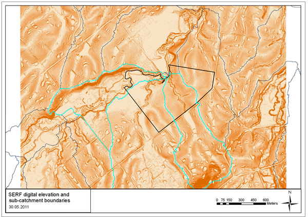
Digital elevation model for the SERF property and surrounding sub-catchments. The hydrological response to land-use within the highlighted catchments is examined in detail in this study.


