
Adelaide River
Alice Springs Mulga
Alpine Peatland
Arcturus
Beacon Farm
Boyagin Wandoo Woodland
Calperum
Cape Tribulation
CIA (maize and wheat)
CIA (rice)
Collie
Cow Bay
Cumberland Plain
Daly River Pasture
Daly River Uncleared
Dargo
Dry River
Fletcherview Tropical Rangeland
French Island
Fogg Dam
Gatum Pasture
Gingin
Great Western Woodlands
Howard Springs
Kopuatai
Lauder
Litchfield
Mangawhai
Mitchell Grass Rangeland
Nimmo
Otway
Oxford
Ridgefield
Riggs Creek
Robson Creek
Samford
Scott Farm
Silver Plains
Sturt Plains
Ti Tree East
Tumbarumba
Virginia Park
Wallaby Creek
Warra
Whroo
Wombat
Yanco
Yarramundi
![]() = external link, new window
= external link, new window
Introduction | Contacts | Purpose | Site Description | Measurements | DEM | Pictures
Pictures
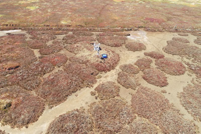
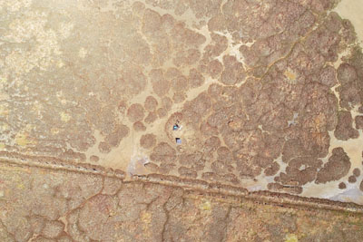
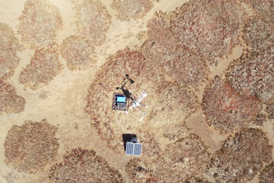
An image of the tower taken using a DJI Phantom 4 drone |
A bird's eye image captured from a DJI Phantom 4 drone ~40m above the tower. |
A bird's eye image captured from a DJI Phantom 4 drone ~10m above the tower. |
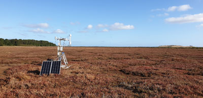
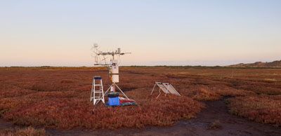
An image taken in the afternoon from the north facing south of the EC station and the marshland. |
A ground level angle with the tower in the background, showing the |
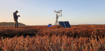
An image taken from the east facing west in the early morning, highlighting the |
Supported by

A contributor to

Partner organisations